
See Who Your Palmdale Neighbors Are
A Palmdale neighbors search is a block study, not a name dump. Start with the target parcel, then identify the lots beside it, behind it, and across the street. Each source describes a different layer. GIS shows geometry. The assessor shows parcel facts. A deed names recorded parties. A directory shows historical subscribers. Community programs publish service contacts, not member lists.
| Source | What it shows about a block | Access |
|---|---|---|
| Mapping Palmdale Tax Parcel Viewer | Adjacent parcel geometry, property lines, zoning, aerial context, and selected services | Free map browse |
| LA County Assessor | AIN, situs, use, building facts, values, and event history for each selected parcel | Free one-parcel address or AIN search |
| RR/CC recorder | Ownership transfers and encumbrances after a party and year are identified | Norwalk index, mail, fax, or copy order |
| Restricted voter data | Registration fields when an approved requester or voter supplies the required details | Self-check or qualified application |
| Telephone and address directories | Past listed subscribers along a street or in a reverse section | Edition-specific library or digitized access |
| Neighborhood Watch and PAC | Public coordinators, meeting or service contacts, and safety information | City Public Safety contacts |
The block sources do not add up to every household. Unlisted subscribers, nonvoters, children, protected residents, and private association members may not appear.
Map a Palmdale Block for Neighbor Lookup
Mapping Palmdale's adjacent-parcel method is the clearest way to define a block without guessing from a street name. Search the target address in the Tax Parcel Viewer, zoom until lot lines are distinct, and click the target. Dismiss the popup, then click the parcels on both sides, behind it, and across the road. Use street and aerial basemaps to check a corner or irregular lot.
- Locate the target address in the Mapping Palmdale GIS hub.
- Turn on parcels, property lines, streets, zoning, and an aerial basemap when available.
- Write down each selected AIN and the map relationship: side, rear, corner, or across the street.
- Move each AIN into the LA County Assessor Portal one parcel at a time.
- Use names and years at RR/CC only when the question changes from block geometry to recorded ownership.
The process is address → parcel polygon → AIN → assessor facts → party and year → deed or directory evidence. It defines the search area before a name is attached to it.
The city announcement for Mapping Palmdale names the Tax Parcel Viewer, zoning, aerial, and neighborhood-service tools.
Use the Assessor for Palmdale Neighbor Parcels
One parcel card is not enough for a block. Repeat the AIN step for every selected lot. The assessor can show situs, use type, tax-rate area, land and building size, year built, legal description, map index, assessment history, and ownership or parcel-change events where displayed. Owner names and mailing addresses may be suppressed on the public Internet result.
Compare the situs with the mailing address, but do not call a mismatch proof of nonoccupancy. A tax mailing address can belong to an owner, agent, lender, or representative. A parcel with an exemption flag is not a household list. A deed still records a transfer, not every person who lives in the structure.
- Adjacent parcel
- A lot that shares a boundary or sits within the defined block view. Geometry should come from the map.
- Situs
- The physical address of the land. It is distinct from the tax or return mailing address.
- AIN
- The county identifier used to retrieve a parcel card and carry a block search across sources.
- Owner
- A person or entity named in a relevant record. Owner does not mean occupant.
Save the date and source for each card. Palmdale's large area and county pockets make stale map assumptions easy to carry from one parcel to the next.
Palmdale Neighbor Parcel Geometry Has Limits
Parcel geometry can show that two lots touch, that a road divides them, or that a target is a corner. It cannot show who is inside a building, whether a listed owner is present, or whether a household shares a parcel. A large lot may contain several structures. A narrow lot may have an address point that sits away from its legal center.
Use zoning, aerial, property lines, and legal descriptions as context. A map layer can be updated on a schedule and may differ from a deed or survey. When the block question depends on exact land, follow the AIN to the assessor, map, and recorder.
Palmdale's city and county geography also matters. A visual block can cross a municipal line or an unincorporated LACO pocket. That can change the right permit, code, service, and records custodian.
Historic Palmdale Neighbors in Directories
Historical neighbors appear through listed subscribers, not a timeless block roll. Library of Congress telephone books cover 1958-63. LA County Library's Californiana inventory lists 1992 and 1994 Palmdale address volumes and Antelope Valley Directory and Yellow Pages editions from 2001-07. A reverse section can show nearby listed subscribers only when the particular edition includes one.
Search the street order near the target address, then compare the next available edition. Pair the listing with a deed, newspaper, census, or permit. A vanished name could mark a move, death, unlisted service, or a publication gap. A business heading is a public contact, not a home.
The historical city directory collection owns the volumes themselves. This neighbors page uses them only for the immediate block layer, while the Palmdale city directory page explains the shelf and years in detail.
Palmdale Neighbor Voter Lookup Cannot Browse a Block
LA County voter verification requires a last name, birthdate, residence house number, and ZIP Code. It checks a supplied voter. It does not let a neighbor search every registered voter on a street. The broader voter file is restricted by Elections Code sections 2188 and 2194 and regulations to approved election, scholarly, journalistic, political, or governmental purposes. Commercial use is prohibited.
Released voter fields can include name, residence and mailing address, status, registration date, party preference, precinct and district, and election participation history, subject to the approved request. Driver-license number, Social Security number, and signature are not released. Confidential voters and Safe at Home participants receive additional protection.
A self-check can support a personal status question. It cannot create a public Palmdale neighbors list. Keep the voter role separate from owner, subscriber, and occupant.
Palmdale Neighbors: Neighborhood Watch and PAC
Palmdale's community layer is about public safety contacts and services, not private membership rosters. City materials list Neighborhood Watch and Partners Against Crime, or PAC, as public programs. The research records Neighborhood Watch and Public Safety at 661-267-5170 and PAC at 661-267-5172. These numbers can direct a resident to a program or coordinator; they do not publish participating households.
Neighborhood Watch
Public Safety contact
661-267-5170
Community safety and neighborhood program information
Partners Against Crime
Palmdale community program
661-267-5172
Public contact route, not a member directory
No official public HOA or Neighborhood Watch membership directory was located. Treat any private roster as private unless the organization intentionally publishes a business contact or public meeting notice.
Palmdale Neighbors and My Neighborhood Services
My Neighborhood Services is an address-driven service map within the Mapping Palmdale ecosystem. It can point toward fire stations, schools, a sheriff station, hospitals, and other nearby public services. Those results help a resident understand the block's service geography. They do not name everyone nearby.
The city launched Mapping Palmdale January 31, 2025 with parcel, zoning, council-district, street-sweeping, public-art, aerial, and neighborhood applications. A service point should be saved with its layer and date because applications can change. Use a parcel view for land, not a service map, when the question is ownership.
The city's later Mapping Hub update documents the continuing neighborhood-service emphasis. It is a geographic starting point for a Palmdale neighbors search.
The Palmdale staff directory is the source for the public city contact view.
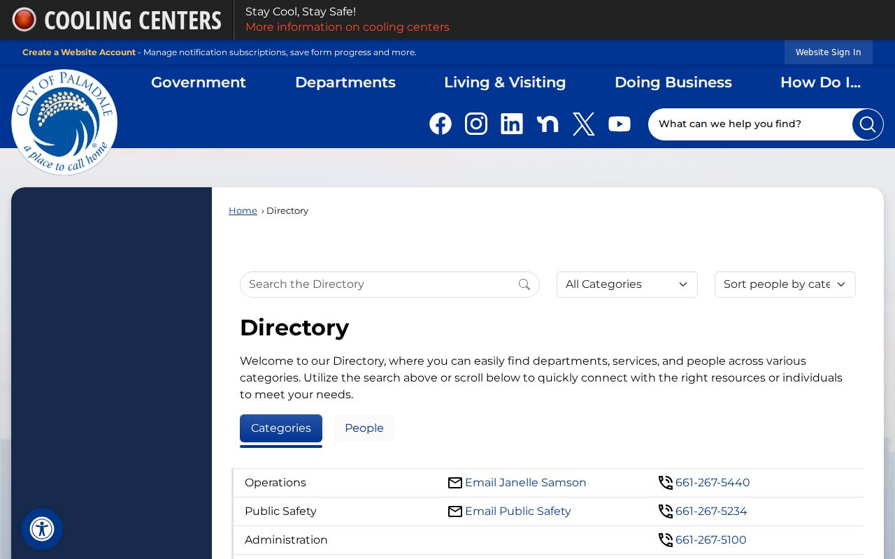
The staff directory helps reach the right city division. It is an official contact directory, not a list of Palmdale neighbors.
Palmdale HOA Rosters Are Not Public Rolls
Named development areas such as Anaverde, Rancho Vista, Joshua Hills, east Palmdale subdivisions, and Desert View Highlands-adjacent areas can help describe a neighborhood. They do not automatically define an HOA, city boundary, or public membership list. Association contacts and member rosters depend on the organization's rules and donor or resident permissions.
Do not infer household membership from a parcel, sign, business page, or community label. A responsible neighbor search can use a public meeting notice or business contact while leaving private rosters alone. The same boundary applies to congregations, block groups, veterans posts, and other organizations.
Community geography is useful for history and service access. It is not authority to collect a private block roster.
County Pockets Split Palmdale Blocks
The official Palmdale ZIP map labels unincorporated Los Angeles County pockets inside or along the city's geography. Two nearby parcels can share a visual street scene yet have different city, county, permit, code, tax, or service custodians. ZIP 93591 is a clear example of a Palmdale postal name that needs a city-limit check. Fringe ZIPs touching 93510, 93543, and 91390 create similar caution.
Confirm the parcel in GIS, then use the AIN to choose the assessor or agency. Do not assign a person to Palmdale solely because the mailing city says Palmdale. The parcel, legal description, and custodian decide the records route.
Privacy Limits on a Palmdale Neighbor Lookup
A Palmdale neighbors search can responsibly show adjacent parcel geometry, selected parcel facts, recorded ownership history after a lawful name-and-year search, historical listed subscribers, and public community contacts. It cannot show every resident, private household member, child, utility customer, delivery recipient, or protected participant.
| Official source | Better question | Boundary |
|---|---|---|
| GIS | Which parcels touch this address? | Geometry is not occupancy |
| Assessor | What parcel and building facts attach to this AIN? | Public owner fields may be suppressed |
| Recorder | Which parties recorded an instrument in a year? | No address search; not a resident list |
| Community program | Who is the public contact for local services? | No private member roster |
Lawful use. Use block information for personal safety awareness, community connection, property curiosity, and family history. Do not use a Palmdale neighbor lookup to stalk, harass, threaten, intimidate, or harm anyone.
Commercial neighbor tools may combine parcel and marketing feeds, but they can preserve obsolete addresses and merge names. Treat them as unverified leads. Official custodians remain the route for corrections and protected records.